
-
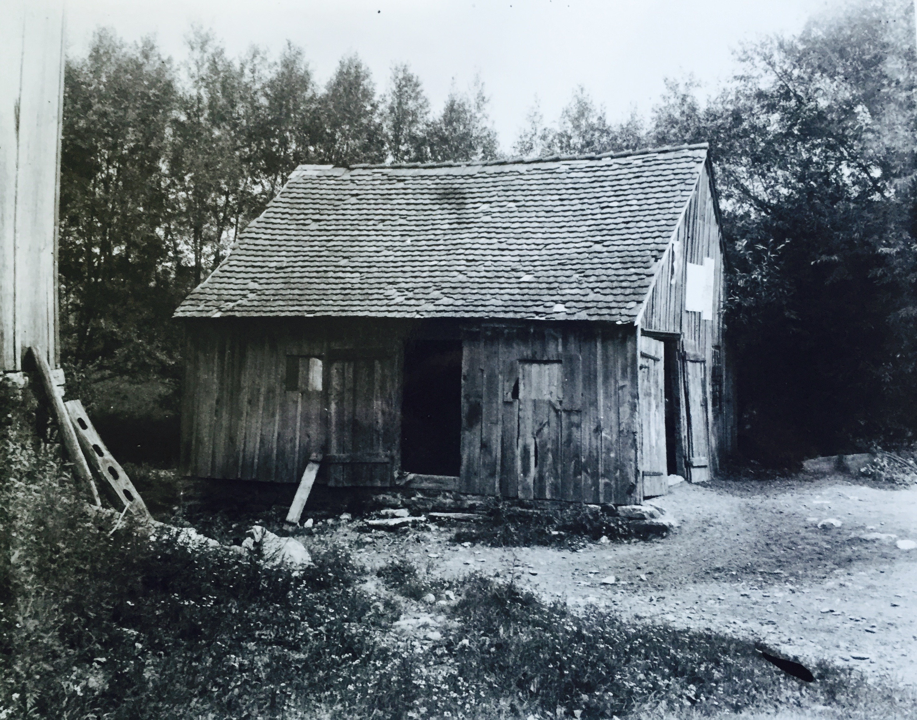
The slaughterhouse stood just west of the Monocacy Creek, right by the lower of two bridges that crossed the Creek. It has been wrongly identified as the Gunstocker's Shop. (Photo used courtesy of the Moravian Archives, Bethlehem.)
-
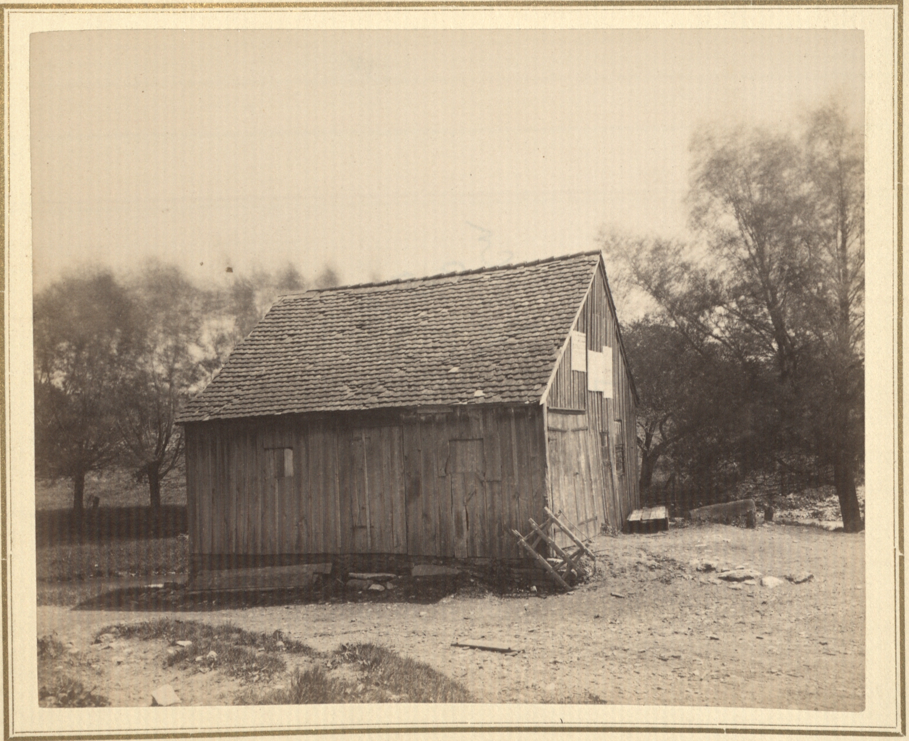 The slaughterhouse stood just west of the Monocacy Creek, right by the lower of two bridges that crossed the Creek. It has been wrongly identified as the Gunstocker's Shop. (Photo used courtesy of the Moravian Archives, Bethlehem.)
 -
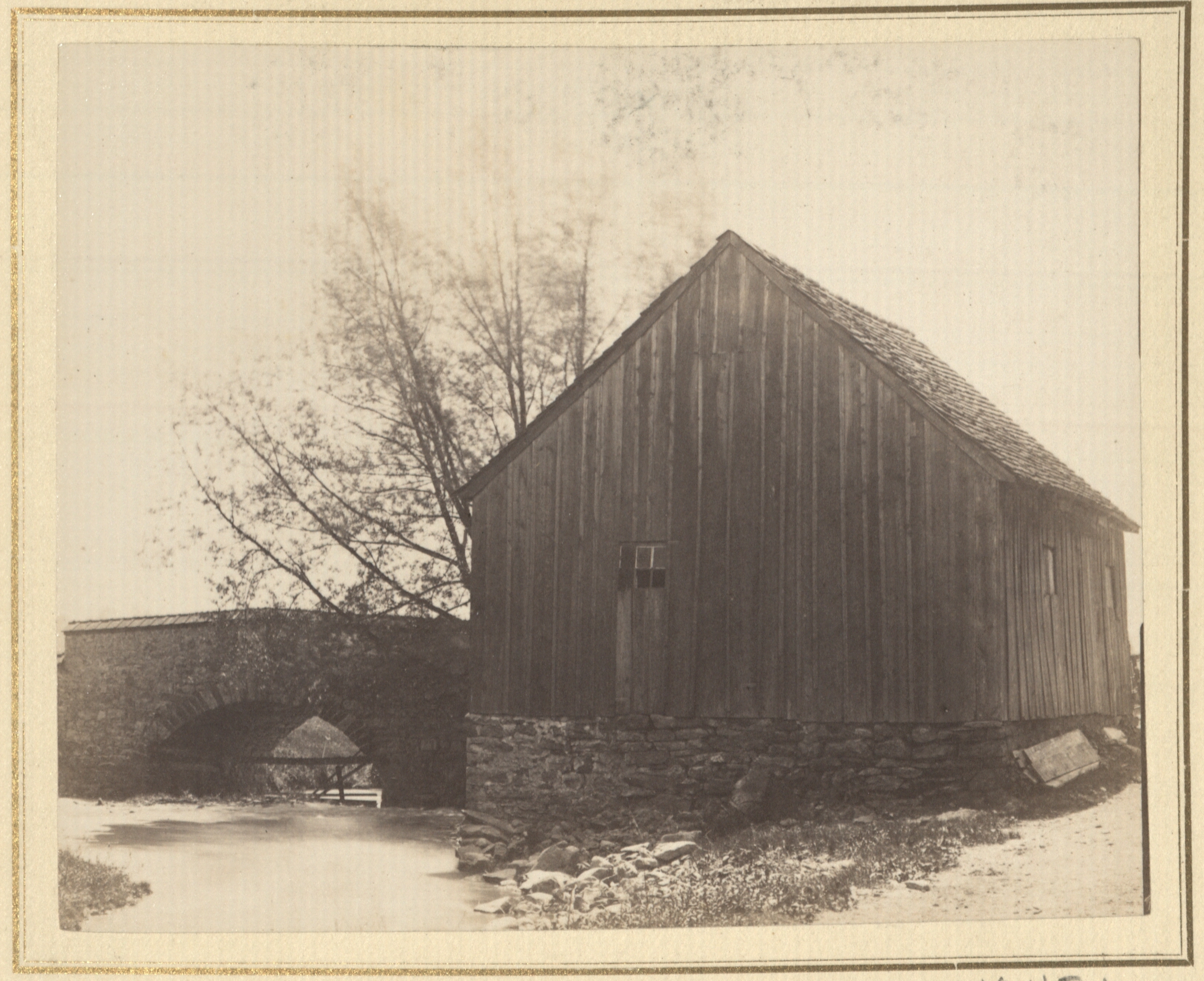 This image, better than the others, shows the position of this structure alongside the Monocacy Creek. (Photo used courtesy of the Moravian Archives, Bethlehem.)
 -
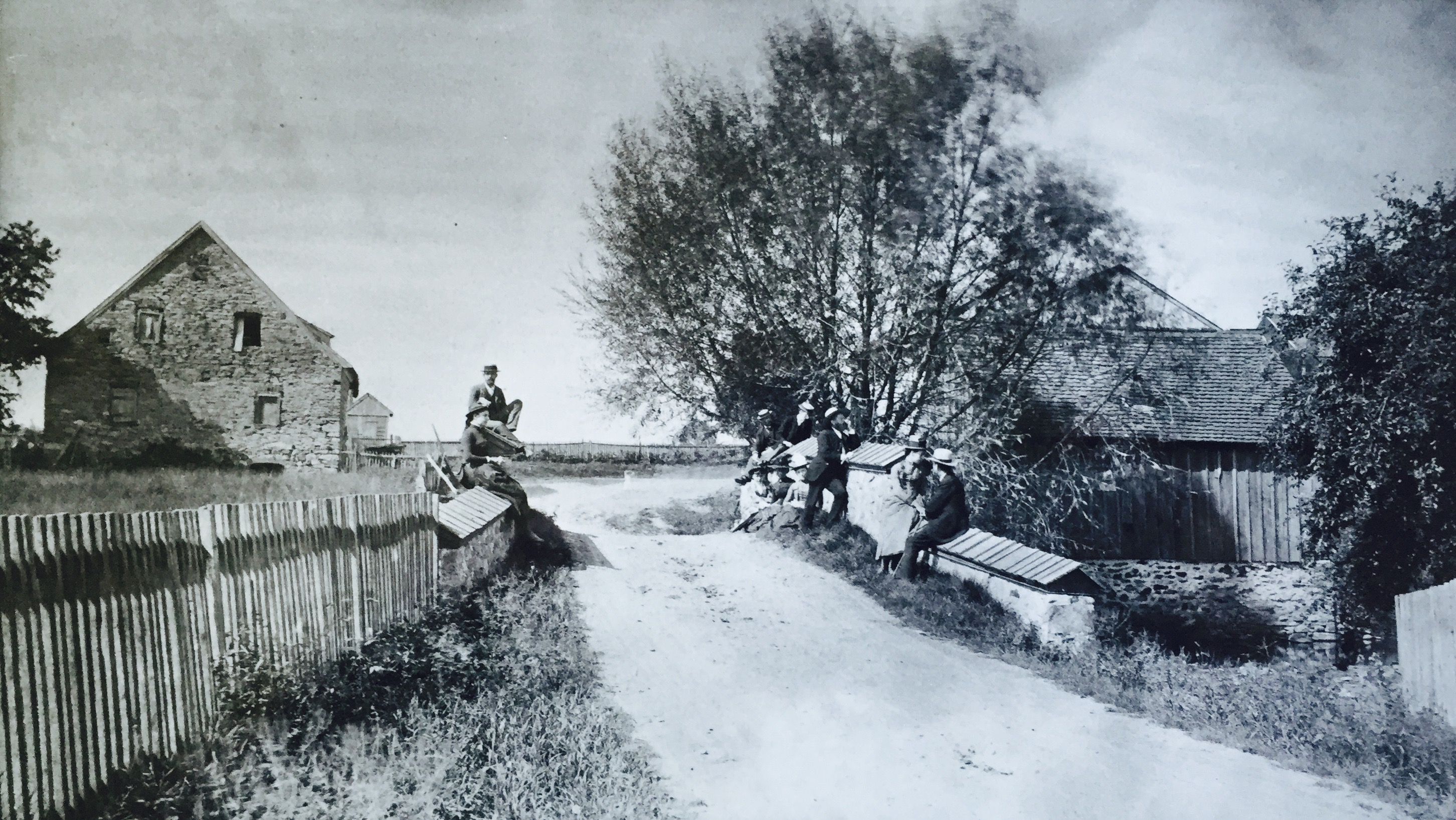 The slaughterhosue is on the right side of this image, just across the Monocacy Creek. One can see that a door on this side of the structure would have opened many feet above the Monocacy Creek. (Photo used courtesy of the Moravian Archives, Bethlehem.)
 -
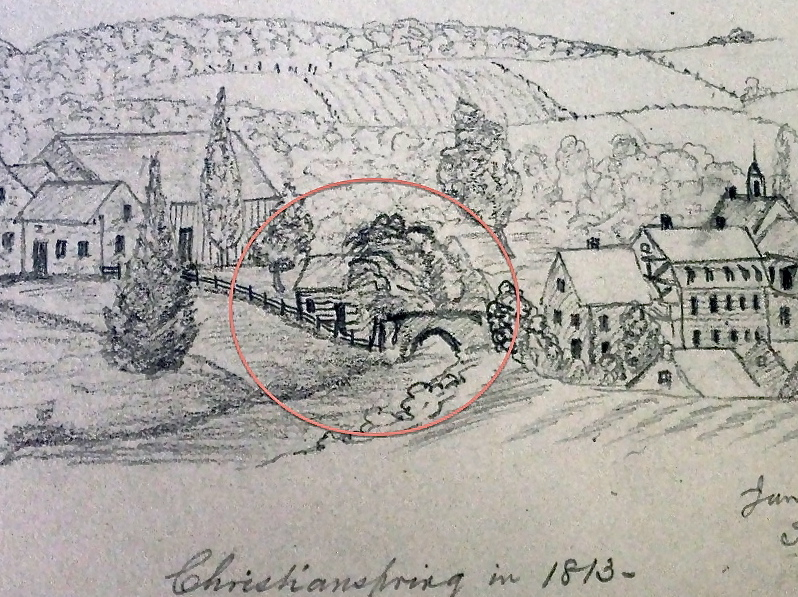
This drawing of Christiansbrunn in 1813 depicts the slaughterhouse--just by the bridge and near the copse of trees.
The slaughterhouse stood very close to the Monocacy Creek, just west of the lower of the two bridges that crossed the Creek. (This road is now Christians Spring Road.) The slaughterhouse has been mistakenly identified as the Gunstocking Shop. But its configuration of doors and windows do not match a plan of a gunshop, which seems to be that of the Christiansbrunn gunshop. Indeed, this plan shows matching doors on either side of the gunshop, which this building at Christiansbrunn could never have had: one of the doors would have opened into thin air, many feet above the Monocacy Creek. Moreover, a recent discovery of an 1860 map of the eighteenth-century settlement locates the gunshop on the opposite (northwest) side of the settlement. This 1860 map of the eighteenth-century settlement identifies this structure as a slaughterhouse.
The image below locates the slaughterhouse on a 1795 map of the Christiansbrunn community.